
How Can Our Motus Station Be Used?
Our local Motus station can be used as an educational tool and a resource to track migratory birds, bats, and insects in real time. The community can access interactive maps and engage in conservation efforts by monitoring tagged wildlife through open-access, web-based data. People will be able to “connect” with a bird, perhaps their favorite species, and follow it on its migratory journey.
We plan to use the station to help identify critical stopover habitats by tracking which areas attract more tagged animals, aiding in local conservation efforts.
Schools can use the data to teach students about animal movement and conservation.
The information it collects will contribute to a larger body of research, supporting efforts to address biodiversity loss on a global scale.
Anyone with internet access can track the movements of birds, bats, and insects with nanotags.
Data collected by Motus Wildlife Tracking Stations around the world can be explored in a variety of ways: species, stations, projects, and regions.
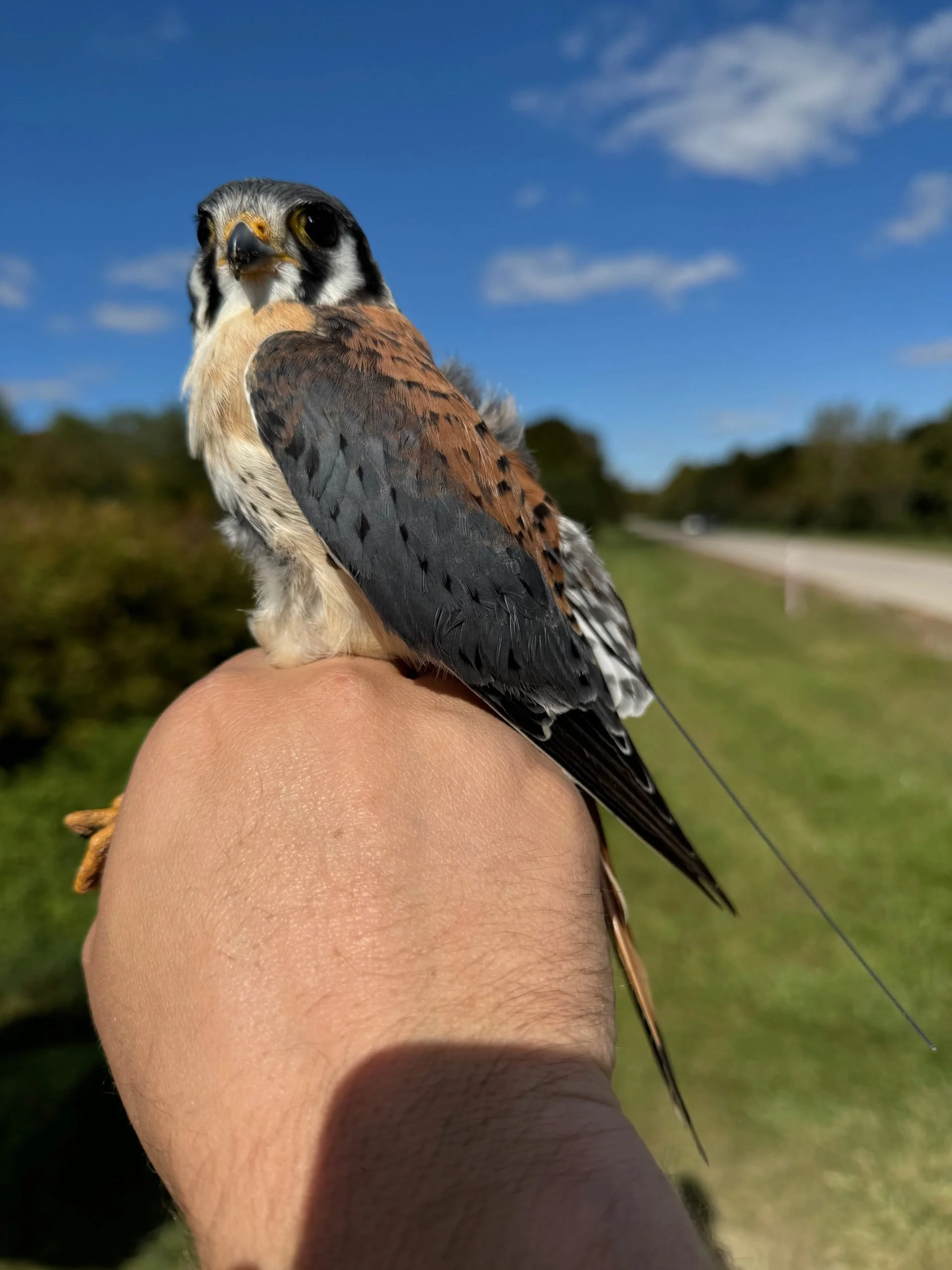
American Kestrel with a Motus tag, or Nanotag. Photo credit: Matt Fuirst from Motus.org